Friday, October 06, 2017

Wisco All-Road River Tour of Headwinds, Day Six

Elroy to Madison

Bridge
We broke camp in the dark, rolling out of Elroy just as dawn began to break. It was another gray day, and we were now on the 400 State Trail bound for Reedsburg and then home. There were a couple of brief stops, one at Wonowoc and another at a little abandoned bridge outside of LaValle. We made Reedsburg by mid-morning hoping to check out Fermentation Fest, but found it not yet up and running.


Caravan
So continuing on some pavements, we soon arrived at Merrimac, where we rode the ferry across Lake Wisconsin (a widening of the Wisconsin River.) we stopped for lunch on the south bank before continuing on toward Devil's Lake State Park.

Riding Home on the Ferry
Almost Home
We skirted the edge of the park and picked up a gravel road that Grant had discovered the previous year, following it to a gate where it became a dirt doubletrack through the forest.

You Shall Not Pass
Final Doubletrack
It eventually emerged on the north edge of the Sauk Prairie Recreational Area, located on the site of the former Badger Ammunition Plant. This place is huge, and warrants its own return trip.

Badger Ammunition
The rest of the day was a blur of semi-familiar roads, with some surprisingly big hills north of Waunakee. Madigan and Schumacher were unexpectedly thick with traffic, and it started to rain as we neared Madison. Crossing 113, things got really familiar as we wove through familiar territory, shortcutting through the Central Wisconsin Center and ending up at the Ohio Tap for a celebratory beer. We parted ways with the job well done, looking forward to another...

Columbia County

(All of the photos are here.)

Thursday, October 05, 2017

Wisco All-Road River Tour of Headwinds, Day Five

Hatfield to Elroy


Jungle Road
Our host called down the stairs that they were on their way out, and it was good to have them in the rearview.

I hadn't slept well and had some bronchitis rattling around in my lungs, so the scattered showers had me feeling low. Rain would start and the jackets would go on, and they'd come back off when it stopped. Our first visit was a place called Oxbo Pond, beautiful in the morning calm.

Oxbo Pond
Then for a while we were on a series of roads leading through the Black River State Forest into the Ho-Chunk  Reservation. There had been plans to go check out the Wazee Lake Recreation Area, but they were scrapped in favor of finding a hot breakfast.

Rain Over Hatfield
The breakfast was at a little tourist place named the Mocha Mouse, which actually really hit the spot. The local rescue squad was having a breakfast meeting, and their collective girth signaled that this was the place if one were hungry.

After breakfast I called my friend Andy in Sparta to arrange a possible visit (which was ultimately not to be) and checked in with home.

Proceeding in the direction we wanted to go meant navigating a clusterfuck of numbered state highways over the interstate, through town and then south a couple of miles. As a bonus, when we turned off of Highway 27 onto Hawk Island Road, we passed a residence that looked like a junkyard, and the largest pit bull I have ever seen came running out after Grant. He soon lost interest, but there I was a good 50 yards back. I got off and started walking on the opposite side of my bike. He didn't look too aggressive, and  just as I was starting to sweet-talk him, the mailman drove up and put his car between me and the dog. I thanked him, and he replied that he would go have a word with the dog's owner.

Sad Thunderbird
This part of Wisconsin has a bit of a Tom Waits soundtrack. Maybe because it's not far enough north to be touristy and too far away from the big cities to have much in the way of industry, Monroe County is one of the poorest counties in the state. More loose dogs than usual through this section.

Echo Road
Somehow Grant found a lovely little gravel named Echo Rd. Challenging climb but worth it.

We found some new blacktop just north of Sparta, which was nice riding as it began to rain again. The forecast for Sunday was looking cold, rainy and very windy, so the decision was made to keep pushing on to Elroy and then for home on Saturday. This meant bypassing White Mound and giving up a night of camping, but neither of us relished an overnight, and then riding home, in what looked to be very nasty weather.

We stopped at Speed's Bike Shop in Sparta and I bought some padded shorts to relieve my aching butt. I also called Andy to let him know that we were pressing on and that I hoped to take him up on his hospitality sometime in the future.

Elroy-Sparta Trail
Elroy-Sparta Trail
Here we got on the nicely-swept Elroy-Sparta State Trail, the former Chicago Northwestern line that is the oldest rail trail in the country. There were a few other users out riding, but few enough that we were able to ride through the tunnels (which normally are supposed to be walked.)

Tunnel 1
The rest of the trail was easy rolling, but gray and uneventful. The campground in Elroy is close enough to the trail, but at the top of a very steep climb. A quick check of the radar revealed storms closing in, so we staked out a base in the metal gazebo and pitched our tents at adjacent sites. Then we made a speedy run to the Kwik Trip convenience store in town for a variety of tasty foods, just barely beating the storm back to the gazebo. We sat at the picnic tables, making arrangements to leave before sunup and listening to the rain fall on the tin roof, and then listened to more rain and the highway while snug in our tents.

(All of the photos are here.)

Wednesday, October 04, 2017

Wisco All-Road River Tour of Headwinds, Day Four

Coon Fork to somewhere near Hatfield


Coon Fork Campground
It was dark by the time we set up camp, so it was a pleasant surprise to see how lovely Coon Fork is. Fall had also arrived while we slept, and we were greeted by fog and a heavy dew. There was no hurry for breakfast or breaking camp, and we headed out mid-morning.

The morning was clear, cool and sunny, and we passed a grader working on Globe Camp Road. A local and his wife were out slow-rolling up and down the road in their pickup, so I talked to them a bit. Apparently a piece of the town's road machinery had lost an expensive, fist-sized nut, so they were out looking for it, and asked whether we would help. I said sure, but I must admit that I spent a lot more time watching the scenery than looking for the town nut.

Grading Globe Camp Road
The rest of the morning was an easy roll to Rock Dam County Park, where we stopped for a lunch break. Nice place, and it would be worth camping there.

Next up we were hoping to try a few Clark County ATV trails, because they're all over the place.  The first thing we ran across was a very promising-looking dirt road with a "This is not an ATV Trail" sign at the beginning. Rather soon though, we found ourselves pushing bikes through deep sugar sand. After a short stretch of pavement, we decided to try an actual ATV trail. Same result.

Not an ATV Trail
After a water stop and brief look at Wild Rock County Park, the Clark County Forest roads proved to be the best riding of the day. Bald Peak Road and Dam Road 2 were the most notable. Camping is permitted on much of the county land, so it might be worth coming back up to take advantage of some lesser-known spots.

Clark County Forest
...
There was another brief stop at Wildcat Park, and we considered hiking up Wildcat Mound, but time did not permit. A couple of the roads were pretty sandy, I think Town Line and Poertner Roads in particular. We were glad to see the last of those sometime mid-afternoon.

Next up was a quick stop to check out the new shelter at the Levis Mound trailhead, where we took on more water and had a snack. Would love to go back.

Just a few more miles brought us to the Warmshowers host that Grant had set up, and arguably the strangest night of the trip. Our host was friendly enough, but once we were shown to our accommodations in the basement (of a very large house), there was no further contact, really. I don't know if there was a miscommunication, or if they just had no interest in socializing with us, but it felt really odd. We cooked and ate our soup outside the back door. Honestly, I might have rather just slept in another campground.

...
(All of the photos are here.)

Tuesday, October 03, 2017

Wisco All-Road River Tour of Headwinds, Day Three

Brunet Island to Coon Fork Lake Co Park


Cornell Theatre
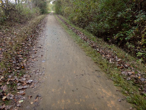
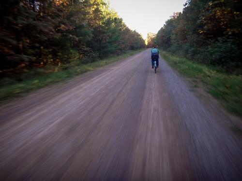
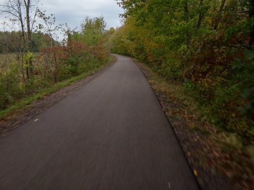
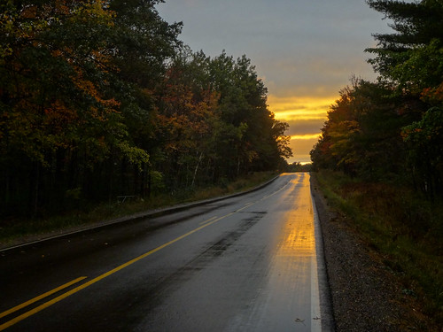
We got up and broke camp early to try and beat another predicted round of thunderstorms. Cornell looked well-worn but still vital. The Old Abe trail is paved all the way from Cornell to Chippewa Falls and gets an A+.

Old Abe Trail
Rolled right through Jim Falls, but left the trail for a bit to check out Wissota Lake State Park, where we had a bit of lunch.

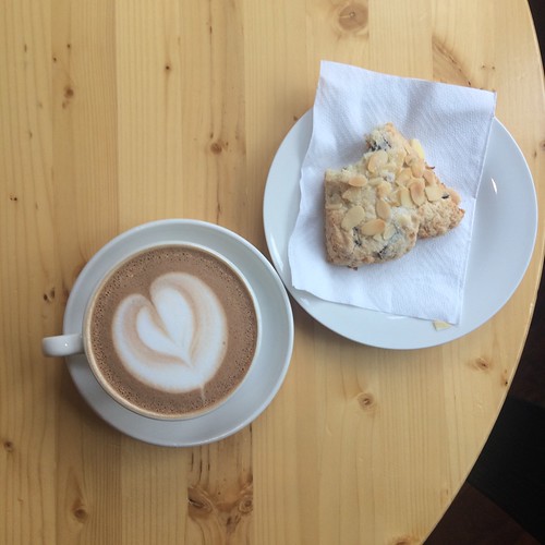
The next stop was Bridge Brews coffee in Chippewa Falls, were we took advantage of the first wall outlets and WiFi since leaving Lac du Flambeau. Also, great coffee.

Coffee Stop
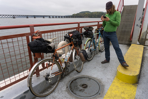
Looking at the weather, we opted not to go into Eau Claire, shortening our route to Big Falls considerably. This meant a short but thrilling trip across the river on a busy state highway, which also happened to be under construction. Not great, but we made it.

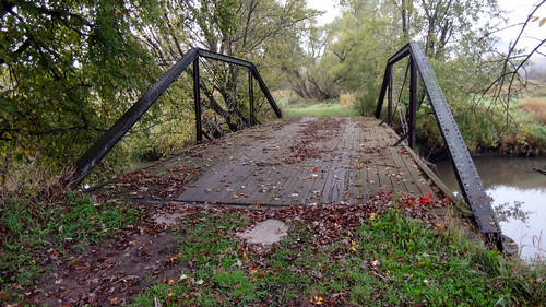
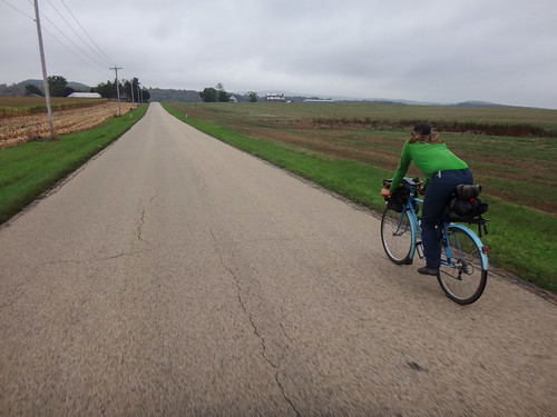
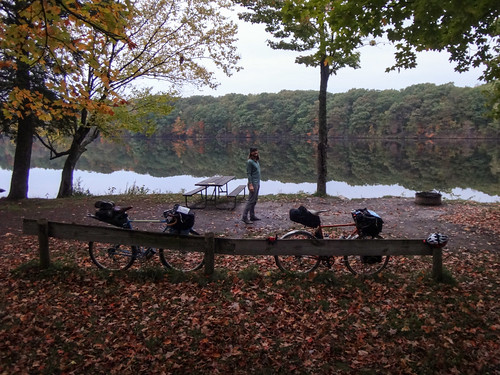
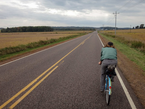
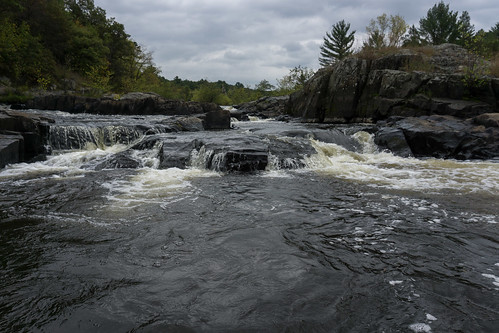
Next up were some choice flat, smooth and relatively low-traffic Eau Claire County highways to Big Falls, where we did a bit of hiking to see the main attraction.

...
Big Falls
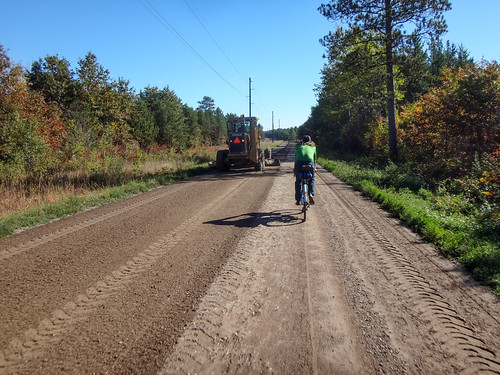
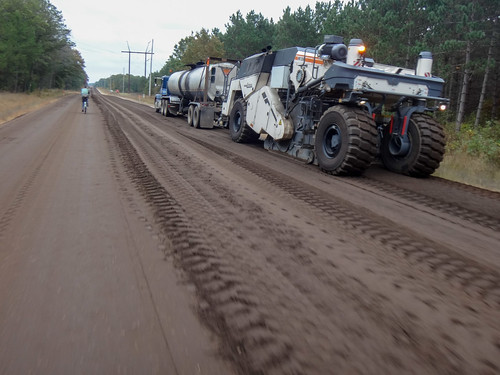
Had we been able to cross the river here, we would have been able to avoid the road construction going on north of the park, but the water was high enough that this was not to be. Had to wait a bit for the flagmen to let us through, but I believe sub roadbed counts as gravel, and it was packed well enough to be fast.

Road Construction
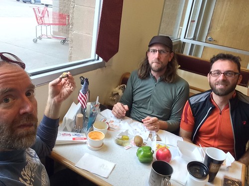
Having avoided Eau Claire, we needed to find a place to resupply. Back at the coffee shop, we had spotted Weaver's Country Store, located just outside Fall Creek. This place turned out to be a big metal pole building set a hundred or so yards off highway 12. Walking in the front door, it was clear that one thing the Google hadn't mentioned is that it is owned and run by Mennonites. About two-thirds of the square footage was dedicated to rows of shelving stocked with all manner of poly-bagged and barcode-labelled bulk goods. Turning into the candy aisle, one could hear angels sing (which, because the piped in music was all choral Christian favorites, was literally so.) The other third of the building was devoted to a workspace where a gaggle of bonnets were bagging the bulk items, weighing them, pulling barcode stickers off the printer reel and affixing them to the goods. Probably a great business model if you can afford the labor.

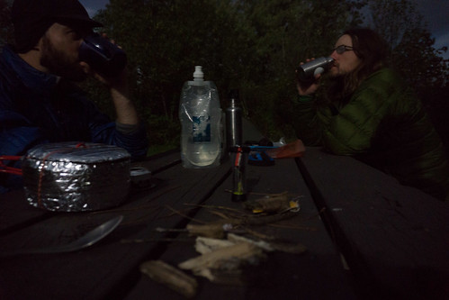
We spent a fair amount of time picking out soup mix, potato chips, dried fruit, cheese, yogurt-covered pretzels, crackers, and I don't remember what all else. Right about the time we were walking out, the promised thunderstorms arrived and it began raining pitchforks. So we sat down in a couple of the plastic wood Adirondack chairs on display under the veranda and dug into our chow, watching the deluge cascade off the tin roof.

Potato Chip Portage
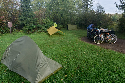
After a little while the rain let up, and we decided to go looking for that night's camp. Harsted County Park was the closest, but a brief visit revealed a number of sites occupied by what appeared to be long-term campers whose vibe was, for lack of a better word, creepy.

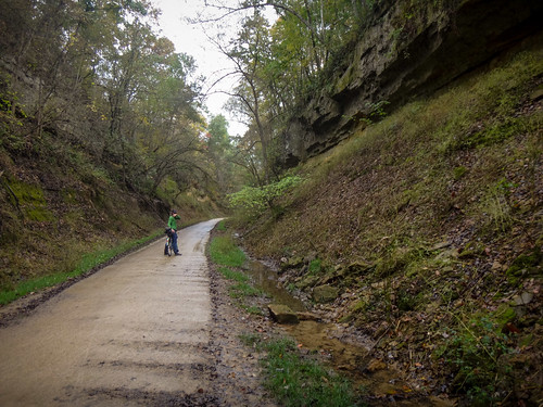
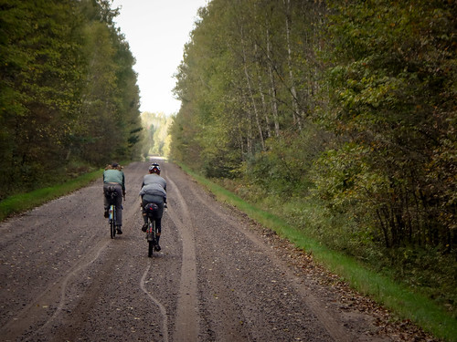
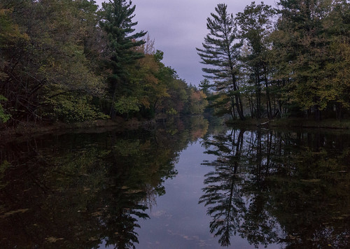
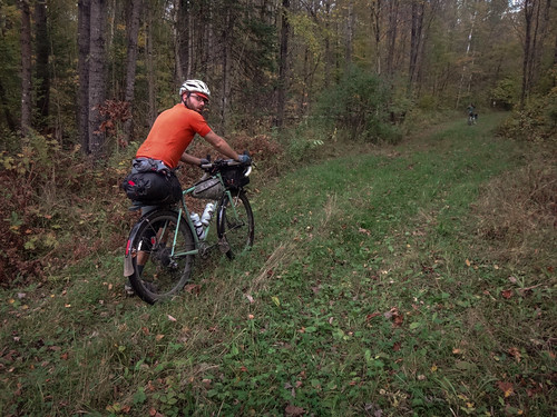
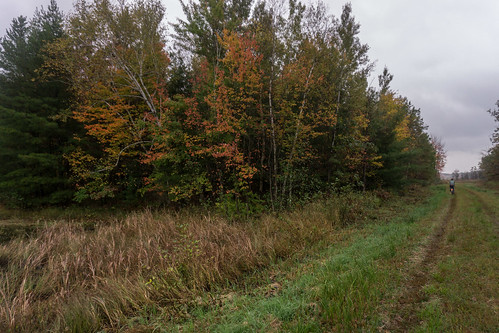
Continuing on toward Coon Fork County Park, we cut through the Augusta wildlife area. The gravel and doubletrack were quite rideable, and the scenery made it a super-cool find.

Augusta
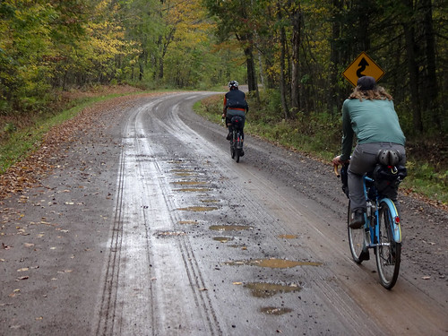
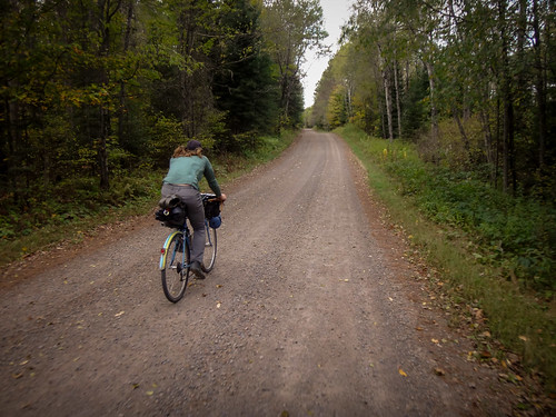
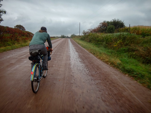
It started raining again, and next up was a section on gravel through Mennonite country. For a moment I thought I saw the track of another bike, and then realized there was another parallel to it with shod hoof prints between. We passed a couple of sheds with active sawmills and workshops with blue-shirted, suspendered men engaged in making pallets.

Riding Rain in Amish Country
Coon Fork County Park turned out to be worth the extra miles.

Sunset
Coon Fork

(All of the photos are here.)


Monday, October 02, 2017

Wisco All-Road River Tour of Headwinds, Day Two

Flambeau River State Park to Brunet State Park in Cornell


Flambeau Campsite

The rain stopped about the time we got up and the sun soon came out. It was probably 10 by the time we rolled out, but our stuff was reasonably dry. West Lane was not though, pulling at our tires a little and making for sloggy progress.

Flambeau River Gravels

We stopped at one of the landings to snack, water up, and use the facilities, and ran across the canoe couple waiting for their ride. 

Eventually West Lane's soggy gravel gave way to pavement, which made life easier. Then one more short stretch of gravel, the beautiful and delightfully curvy Mae West Road,  carried us into Ladysmith.

Mae West Road

It was clouding up as we stopped and had lunch at Gordy's Market on the northwest edge of town. They had plenty of ready-to eat food (I had the chili and a corn dog, among other things) and a quiet place to sit and look at maps. Eric would be leaving us to ride back to his car, parked at Jon's place in Phillips. Little did he know at the time that he'd be overtaken by a line of thunderstorms that missed us.

Touring Strategy Session

We could see the rain coming on radar, so Grant and I decided to forego a visit to Pine Point County Park in Holcombe and push for Brunet Island State park at Cornell instead.

Brunet Island Campsite

We rolled into Cornell as the sky was darkening with rain clouds, found a lovely site right on the Chippewa River and pitched camp quickly in anticipation of getting hit by storms we could see and hear off to the northwest. Dinner was cooked at camp, showers were had, and the rain rolled away without so much as a sprinkle.

Brunet State Park


(All of the photos are here.)

Sunday, October 01, 2017

Wisco All-Road River Tour of Headwinds, Day One

Brief Break

Lac du Flambeau to Flambeau River State Forest, 64-ish miles.


Grant, Eric, Jon and I left Andy's place at about 10 am, headed west on Chequamegon Forest Trail. We looked for Grant's wallet at the Round Lake trails, but did not find it. Jon split off for home after Moosejaw, missing the most excellent Blockhouse Lake Rd.—a study in sweet, sweet Northwoods gravel.

Blockhouse Lake Road

We stopped for "lunch" at a c-store in Park Falls, a grimy paper mill town on the north fork of the Flambeau River. Then it was westbound again on some rolling pavement until we turned south on ATV trails. The first stretch was good, but then it turned to a glacial till of sand and rock. Somehow we managed to pick our way through and nobody got a flat. 
Another brief stint on roads took us to a system of cross-country ski trails running parallel to the river that were, to be kind, difficult.

Ski Trail Madness

Late in the afternoon we popped out at Red's Big Bear, where we stopped for pizza and beer. We got to talking with a couple who were canoeing the river, and they told us which campsites were open. Technically only paddlers were supposed to camp there, but there were plenty of open sites and we figured our footprint would be light. The moonlight and sound of the river were wonderful.

Moonlit Picnic

Sometime after we went to bed it started to rain (a slow rain perfect for sleeping), with a little bit of lightning, and kept raining until after sunup.

(All of the photos are here.)